Who we are
founded on the idea that this could be done better.
whereabouts was founded in 2024 by Molly Freeman after more than a decade of geospatial work across industries that most firms don't touch in the same career, let alone the same decade.
The firm exists because Molly got tired of watching mission-driven organizations struggle with geospatial problems that weren't actually that complicated. They just needed someone willing to explain the options honestly and do the work without overcomplicating it. whereabouts is that firm. Honest, direct, and relentlessly practical.
Our methodology is simple: no-surprises pricing, transparent scoping, and solutions built around your organization instead of whatever's easiest for us to sell. We work with nonprofits, state and local governments, conservancies, animal and human health organizations, and civic tech teams. The kinds of organizations that are trying to do good work and deserve the same quality of geospatial support as anyone else.
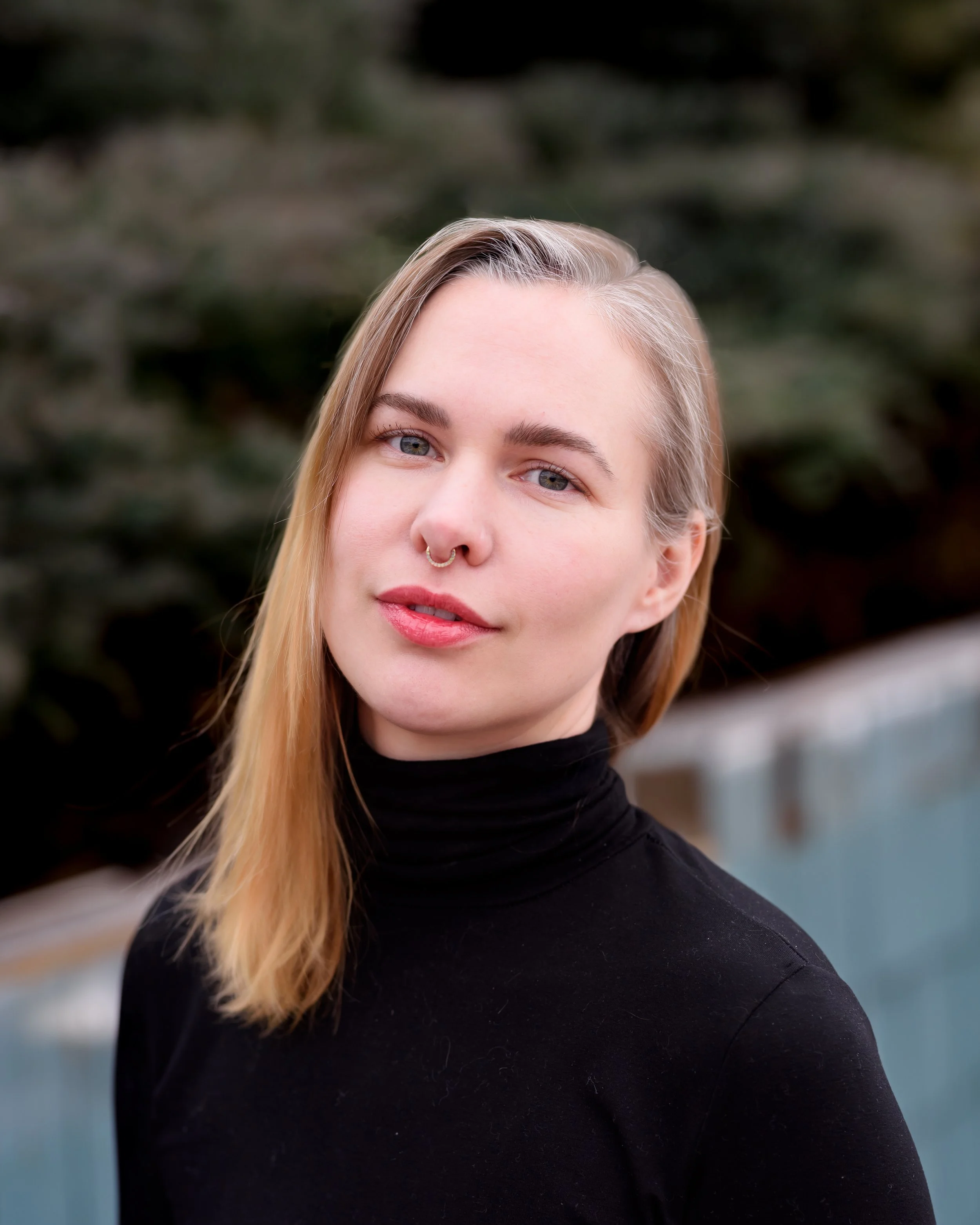
meet the ceo
Molly holds dual master's degrees in GIS and Anthropology from Auburn University at Montgomery, and a bachelor's in Biology from Davidson College. The combination isn't accidental. It's produced an approach to spatial data that's as interested in the human context of a dataset (who made it, what it's for, who's affected by it) as the technical one.
Before founding whereabouts, Molly spent thirteen years doing geospatial work across a range of industries that most practitioners don't cross in a single career.
She served as GIS Manager at a major regional health system, where she foundationally built the geospatial program with the support and guidance of fellow motivated leaders, led the initial architecture of a real-time location services initiative to track equipment, staff, and events across a multi-building campus in real time, as well administering multiple ArcGIS Enterprise implementations in development and production environments. She worked at NASA, where she maintained large-scale pipelines for raster and vector data used by research scientists across the globe. She helped scale a GIS practice at a national consulting firm, significantly growing the telecommunications vertical and integrating spatial data into AEC contracts valued at nine figures. Earlier in her career, she supported a statewide Enterprise GIS for a state department of transportation, and managed cartographic production for a team of more than sixty analysts in the defense and intelligence field.
While the industries Molly works in include healthcare, ports, transportation, telecommunications, conservation, utilities, education, real estate, and the public sector, the through-line is the work itself: making spatial data useful for the people who need it.